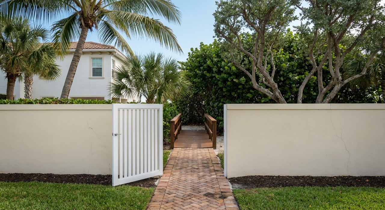
Do you want to keep your yacht behind a Port Royal home and cruise straight to the Gulf without waiting on bridges? You are not alone. Buyers often hear “no‑bridge access” and assume any boat can pass freely, but water depth and maneuvering space still matter. This guide shows you where Port Royal offers true no‑bridge routes, what to verify about canal depths and turning basins, and how to shortlist properties with confidence. Let’s dive in.
What “no‑bridge Gulf access” means
“No‑bridge” means you can reach the open Gulf of Mexico without passing under any fixed road bridge that limits air draft. It does not guarantee deep water for all vessels. You still need to confirm depths, channel width, and turning room along the entire route from your dock to the pass.
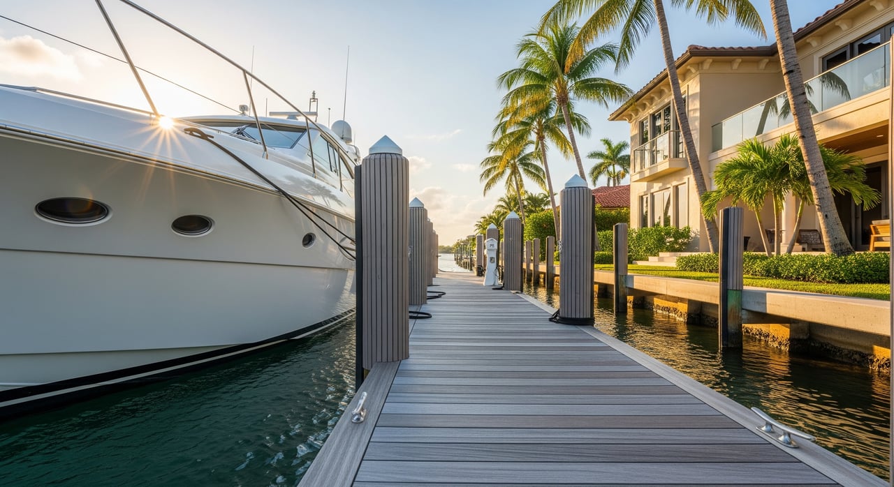
In Port Royal, many bayfront homes and canal properties connect to open water without fixed bridges. Your feasibility comes down to depth at mean low water, canal geometry, and how you plan to maneuver your vessel.
How Port Royal connects to the Gulf
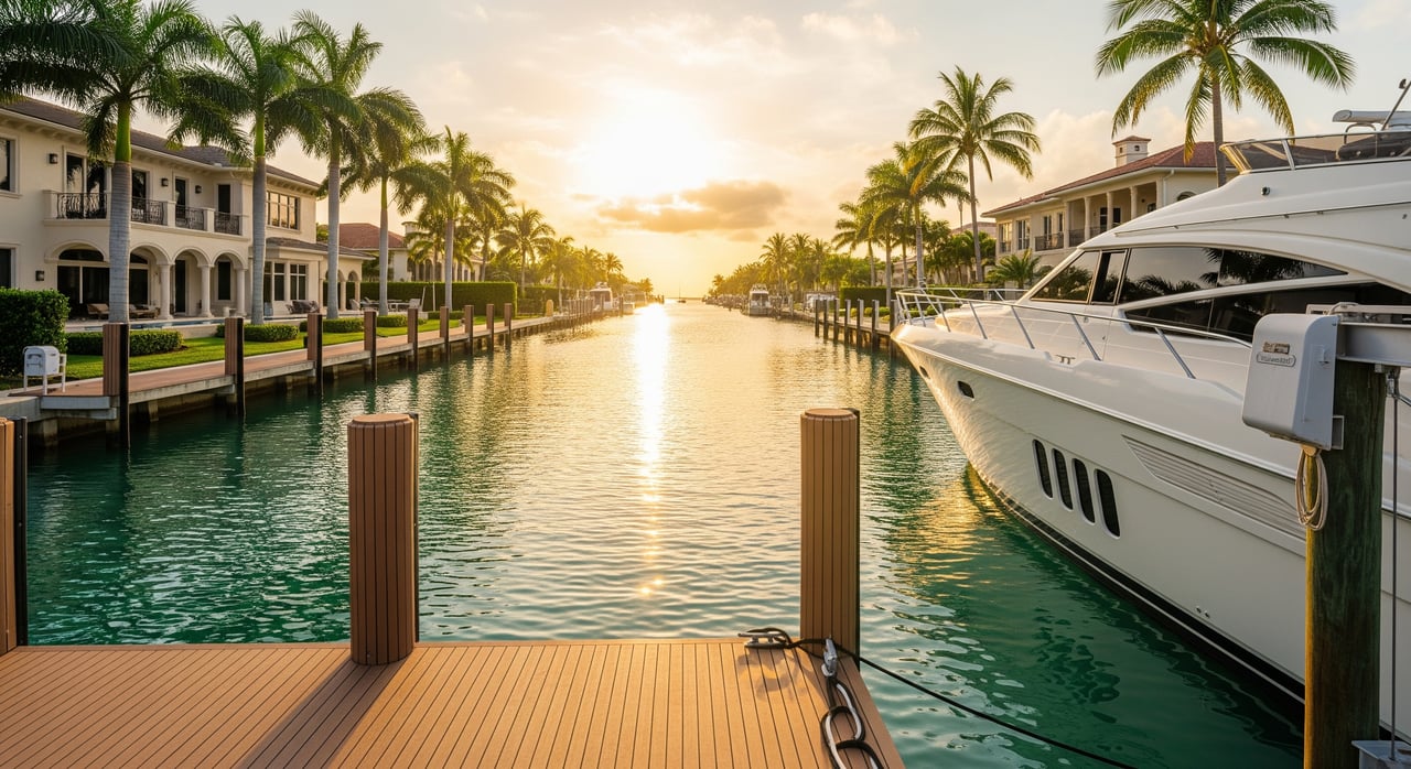
Port Royal sits on the western end of Naples Bay in Collier County. The primary route to the Gulf is through Naples Bay to the local inlet known as Gordon Pass. Properties that open directly into Naples Bay typically enjoy no fixed‑bridge limitations between the dock and the Gulf.
Remember the key distinction: no fixed‑bridge routing is separate from confirmed depth. Shoals, narrow bends, and seasonal changes can affect draft and handling even on an open route.
Where you’ll find no‑bridge access in Port Royal
You’ll focus on two broad areas:
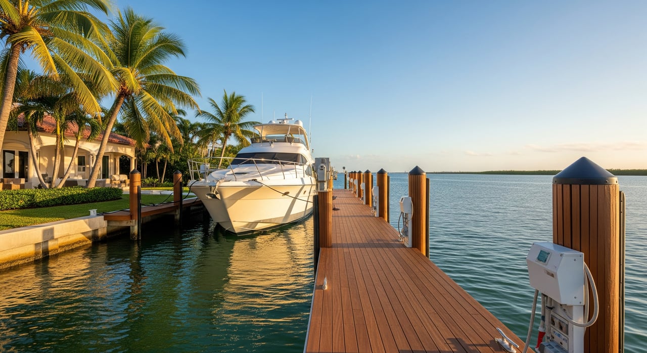
- Bayfront homes and canal mouths that open directly to Naples Bay. These locations generally avoid fixed bridges because they sit on open water.
- Canal groups that connect straight to the bay rather than running behind a road crossing. Some canals end in a cul‑de‑sac yet still connect openly to the bay, while others have geometry that makes turning a larger yacht challenging.
If you are building a shortlist, ask your agent to prepare a simple map overlay that shows:
- Lot boundaries for Port Royal with canal groups labeled.
- Waterways that connect directly to Naples Bay without fixed bridges versus any bridge‑restricted routes.
- The buoyed channels and approach toward Gordon Pass, plus known shoals or bars.
- Nearby marinas, fuel, and services relevant to yacht operations.
- The approximate distance from select canal mouths to open Gulf, with sample transit time at a typical cruising speed. Always verify with current charts and conditions.
Depths and turning space: what matters
Depth varies by canal and by season. Many Port Royal canals and private docks can accommodate mid‑sized yachts, though deeper drafts and larger LOAs require careful confirmation at mean low water. Deepwater options for very large yachts exist but are less common and must be confirmed with recent surveys or recorded dredge data.
Turning space is often the limiting factor for larger vessels. As a conservative rule of thumb, look for a turning area at least 1 to 1.5 times your vessel’s length for comfortable maneuvering in calm conditions. Strong wind, current, and the presence of nearby bulkheads may require more room. Older residential canals were not designed for modern 80‑ to 150‑plus‑foot yachts to spin easily in‑canal, so proximity to open bay water or a true turning basin becomes more valuable as LOA increases.
Quick dock‑and‑route checklist
Use this shortlist checklist before you invest time on showings:
- Is the route to the Gulf free of fixed bridges? Identify the exact path to Naples Bay and the pass.
- Latest mean low‑water depth at the dock and at the canal entrance. Request a current hydrographic or dock survey.
- Whether the canal or approach is a maintained channel and who is responsible for dredging.
- Distance and estimated transit time from dock to the Gulf passage at your typical cruising speed.
- Nearest turning basin location, width, and depth; confirm you can turn without backing long distances.
- Seabed type at the dock area, such as sand or mud, which affects anchoring and propeller risk.
- Dock construction and max recommended vessel length; verify utility provisioning like shore power, water, and pumpout.
- Mooring layout and cleat or bollard capacity suitable for your lines and loads.
- Any HOA, city, county, or state restrictions on vessel size, mooring, dredging, or dock work.
- Hurricane plan, nearby haulout options, and typical wind and wake exposure along the route.
What to measure and why
Focus on a few numbers and documents that best predict real‑world usability:
- Verified MLW depth at the dock, at the canal mouth, and along the intended route. A conservative rule is vessel draft plus a safety margin at MLW, then confirm with a local surveyor.
- Turning diameter or width in your approach area and at the dock, plus notes on wind and current exposure.
- Any recorded dredge or maintenance history for the canal group, along with who pays for future work.
- Utility and service needs at the dock, including shore power amperage and nearby fuel.
Depths change with storms and dredging cycles. A recent, dated survey is your most reliable source when you are considering a specific property.
Step‑by‑step shortlist for yacht owners
Follow this simple workflow to move from wish list to workable options:
- Define your vessel profile. Note LOA, beam, draft, air draft, propulsion, and shore service needs.
- Pre‑filter by access type. Mark only properties with confirmed no‑bridge routing to Naples Bay and the pass.
- Filter by depth. Compare your draft plus a safety margin against the latest MLW measurements at the dock and canal.
- Evaluate turning and maneuvering. Confirm whether you can turn in‑canal or need to back into open water; request a captain’s assessment if unsure.
- Confirm maintenance responsibilities. Verify who maintains the canal and when dredging last occurred.
- Inspect with a captain or surveyor. If possible, conduct an on‑water check at low tide and document the approach, turning, and departure.
Practical scenarios to consider
- Mid‑sized cruiser owner. You need clear, fixed‑bridge‑free routing, MLW readings that meet your draft plus a safety margin, and enough width near your dock to turn without stress. A canal close to the bay mouth can make everyday use easier.
- Larger motor yacht owner. Prioritize bayfront or canals with a true turning basin or immediate access to open bay water. Verify MLW with a dated survey, confirm dredging history, and plan with a local captain for approach and departure in varying conditions.
- Future upgrade planner. If you expect to move up in size, target locations with demonstrated turning room, recorded maintenance history, and the ability to enhance shore power or docking hardware with proper permits.
How we help you buy with certainty
The CVJ Team brings a systematic, yacht‑owner‑friendly process to Port Royal acquisitions:
- We map no‑bridge properties and canal groups, highlighting routes to Naples Bay and the pass.
- We coordinate current depth data by requesting dock and hydrographic surveys where available.
- We connect you with local marinas, surveyors, and captains for practical turning and approach assessments.
- We confirm dredging and maintenance responsibilities with the appropriate county or state records.
- We leverage private and off‑market access to uncover options aligned with your vessel and lifestyle.
Next steps
If a Port Royal waterfront home is on your horizon, start with clarity on access, depth, and maneuvering. We will help you pair mapped no‑bridge options with verified surveys and real‑world docking plans that fit your yacht and your day‑to‑day routine. Ready for a confidential conversation and a curated shortlist? Contact Joe Caveney to Request Private Access & Home Valuation.
FAQs
What does “no‑bridge Gulf access” mean in Port Royal?
- It means your route from dock to the Gulf does not pass under any fixed road bridge that limits air draft, though you still must verify depths, channel width, and turning space.
Can I dock a 60–80 ft yacht behind a Port Royal home?
- In some locations, yes; it depends on proven MLW depth, slip length, canal geometry, and turning room, which should be confirmed with a recent survey and a local captain’s review.
How long does it take to reach the Gulf from Port Royal?
- Transit time varies by your location in Port Royal, boat speed, traffic, tide, and conditions; your agent can estimate distance in nautical miles and minutes using current charts.
Are Port Royal canals dredged regularly for depth?
- Some areas are maintained through public or private dredging while others are not; verify dredge history and responsibility through county records and neighborhood documentation.
Do I need a new survey if the seller has old depth numbers?
- Yes; request a current, dated hydrographic or dock survey that confirms MLW at the dock and along the approach so you can validate draft and maneuvering in today’s conditions.
What should I check about turning basins for larger yachts?
- Look for a turning area at least 1 to 1.5 times your vessel length as a conservative rule, and have a local captain assess wind, current, and any tight bulkheads or obstructions.