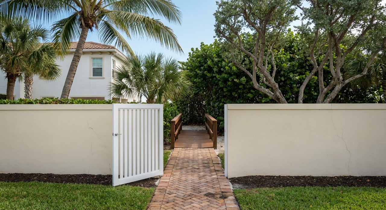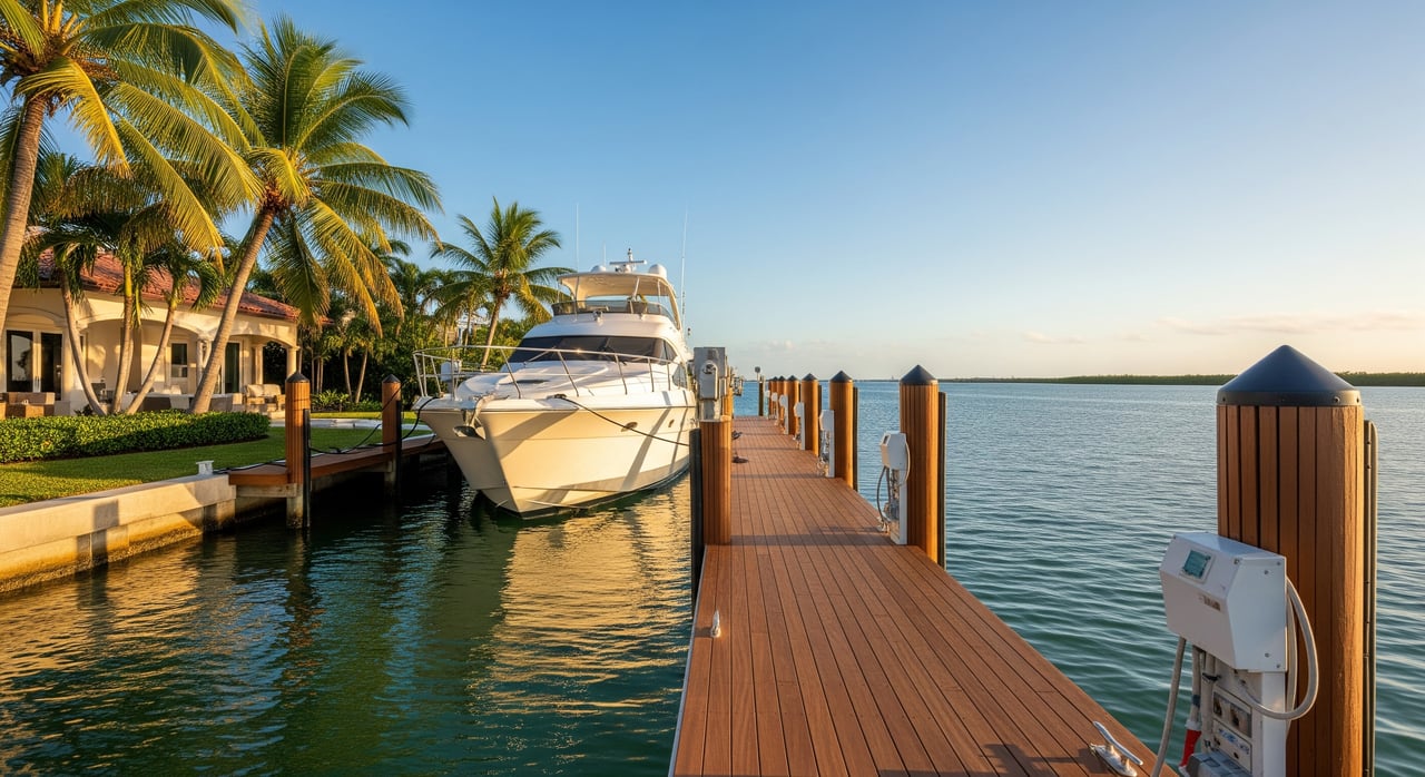
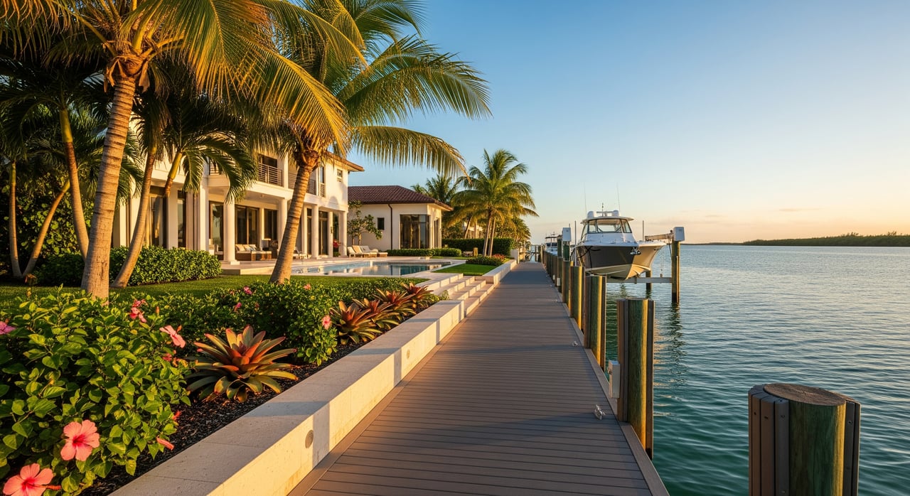
Picture yourself stepping onto your dock in Aqualane Shores, coffee in hand, and deciding on a quick run into the Gulf for a morning cruise. The catch is simple: how fast and how easily can you get there from your canal? If you are buying or selling on the water here, understanding the difference between direct Gulf, no-bridge, and bridge-limited access will shape your boating experience and your property’s long-term resale strength. In this guide, you will learn what each access type means, how to estimate run times from your dock to open water, and what to verify before you write an offer. Let’s dive in.
Gulf access types, explained
Direct Gulf access
Direct Gulf access means your route reaches the Gulf of Mexico without encountering low fixed bridges or other vertical obstacles that would block most powerboats or tall-masted sailboats. You may still pass through a bay or inlet, but there are no height restrictions that force special timing or workarounds. For owners, this typically means shorter run times, fewer delays, and more flexibility for spontaneous outings at any time of day.
What it affects for you:
- Vessel options, including tall sportfish towers and sailing rigs
- Faster, simpler runs to open water
- A broader pool of future buyers who prioritize unfettered Gulf access
No-bridge access
No-bridge access, often called bridge-free, emphasizes that there are no fixed bridges on your route to open water. In practice, this is very similar to direct Gulf access because there are no vertical clearance limits on the way out. You will still navigate channels and a tidal pass, but you avoid bridge delays and clearance concerns. This is attractive if you own a tall-masted sailboat or a larger motor yacht.
Bridge-limited access
Bridge-limited access means your route is constrained by one or more bridges. These can be:
- Fixed low-clearance bridges that set a hard limit on mast or tower height
- Movable bridges that open on a schedule or on request, which can add wait times
- Bridges with restricted opening hours that require planning around specific windows
For owners, this can reduce the types of vessels you can run from your dock and add time or coordination to every trip.
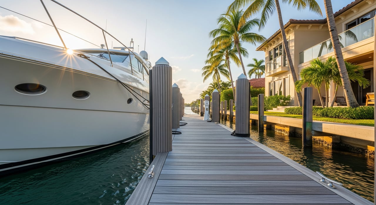
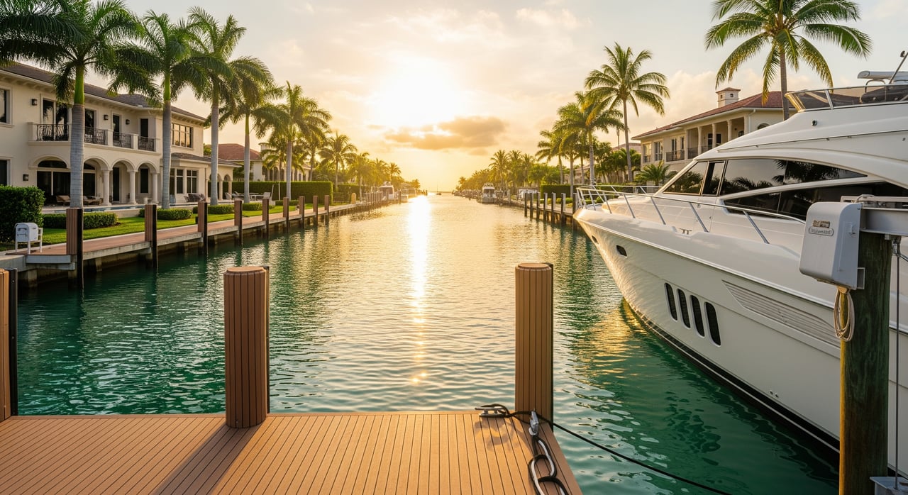
How Aqualane Shores connects to the Gulf
Local layout and inlets
Aqualane Shores is a canal neighborhood that feeds into Naples Bay and nearby channels. From the bay, boaters reach the Gulf through a tidal pass. The nearest commonly used inlet for Naples traffic is Doctors Pass. Other options exist farther away along the coast, such as Gordon Pass to the south. Your exact route depends on your canal and the current charted channels.
What to check on your route
Every property sits on a slightly different path to open water. Before you buy, verify:
- Fixed and movable bridge clearances along the way
- Dredged channel depths, especially near pass entrances that can shoal
- Speed limits and manatee zones inside canals and the bay
These details affect both your run time and the types of boats you can comfortably operate from the dock.
Estimate your run time to open water
You can estimate dock-to-Gulf time for any Aqualane Shores address with a straightforward method.
Step-by-step method
- Map your route. Use a current nautical chart or a reputable digital chart to trace from the property’s seawall to the seaward side of the inlet.
- Measure channel distance. Follow safe, charted channels rather than a straight line across shallow areas.
- Choose a realistic cruising speed for your boat type:
- Center console or sportboat: about 20 to 30 knots
- Trawler or slower powerboat: about 7 to 12 knots
- Sailboat under power: about 6 to 8 knots
- Run the math. Time in hours equals distance in nautical miles divided by speed in knots. Multiply by 60 for minutes.
- Add contingency. Allow 10 to 30 percent more for slow zones, turns, wakes, and any bridge or traffic interactions.
Quick conversion examples
- 1.0 nautical mile at 20 knots is about 3 minutes
- 2.0 nautical miles at 20 knots is about 6 minutes, at 10 knots about 12 minutes
- 3.0 nautical miles at 20 knots is about 9 minutes, at 10 knots about 18 minutes
Typical Aqualane Shores ranges
Distances vary by canal and by the path you take through Naples Bay. As a practical planning range:
- Shorter routes: about 0.5 to 1.5 nautical miles from dock to inlet, roughly 3 to 9 minutes at 20 knots
- Longer routes: about 1.5 to 4.0 nautical miles, roughly 5 to 12 or more minutes at 20 knots
These are conservative planning figures for typical powerboats. Sailboats and slower vessels will take longer. Real-world times depend on speed zones, tides, and traffic on the day.
Boating operations and safety to consider
Vessel type and dimensions
Your vessel’s height and draft are central to safe transit. Low fixed bridges block tall masts or towers, and shallow canals or passes can limit deeper-keeled sailboats. Confirm both clearance and depth along the entire route. Some docks or canals can be shallow at lower tides.
Tides, currents, and shoaling
Tidal passes often run strong during ebb and flood, and they can shoal seasonally. Check tide and current predictions before heading out. If you draw more water, you may need a higher tide window or a slightly different route based on recent conditions.
Speed and zone restrictions
Canals and Naples Bay include posted speed limits and manatee protection zones. These areas are enforced, and they affect your total run time. Plan for slow zones, particularly near tight bends and residential stretches.
Bridge schedules and procedures
Movable bridges can add wait times if your route includes one. Some open on request, others on a set schedule, and some have limited night hours. Know the current protocol before you go. Fixed bridges are simpler to plan around, but only if your vessel fits under them with comfortable margin.
Storm planning and insurance
Waterfront owners should have a hurricane plan that covers haul-out or protected mooring, plus insurance requirements for their vessel and dock. Immediate Gulf exposure can carry higher wind and surge risk, while no-bridge access often increases a property’s appeal to serious boaters. Balance these factors with your dock’s design and the property’s elevation and flood zone.
Dock permits and seawalls
Before you buy, confirm that the dock and any boatlift are permitted and sized for your intended vessel. Review seawall condition, dredging history at the property, and any maintenance records that affect long-term usability.
Market and resale implications
Who values each access type
- Direct or no-bridge access typically attracts owners who prioritize offshore runs, taller rigs, or frequent boating with minimal delays.
- Bridge-limited properties attract buyers who use smaller, lower-profile boats or who prioritize price, lot features, or views over unrestricted access.
Pricing and liquidity
Unobstructed, quick access is usually marketed as a premium feature for waterfront homes. The degree of premium varies by lot, dock, and market cycle. When selling or buying, compare recent neighborhood comps and review current neighborhood trends to understand how access type affects time on market.
Due diligence that supports resale
Properties with confirmed, convenient routes, permitted docks sized for popular vessel classes, and clean maintenance records are easier to position to boating-focused buyers. Conversely, unclear bridge constraints, unpermitted structures, or uncertain dredging needs can slow a sale. Document your access advantages clearly when listing.
Tools and records to verify before you buy
To validate a specific property’s access and your expected run time, assemble the following:
- Current nautical charts for depths, aids to navigation, inlets, and any fixed bridges
- Tide and current predictions for planning pass transits
- U.S. Coast Guard Local Notices to Mariners for temporary hazards, dredging, or bridge changes
- County resources for dock permits, seawall records, and any shoreline work
- Practical input from nearby marinas on shoaling patterns, recommended routes, and tide windows
- Boating apps that share community notes on hazards and bridge heights
- Property-specific records: dock permit and survey with depth at mean low water, recent soundings or dredge reports if available, seawall inspections, and insurance history
Quick checklist before you write an offer
- Define your intended vessel’s height, beam, draft, and cruising speed
- Trace the exact route from the dock to the inlet on a current chart
- Measure channel distance and estimate time with a realistic speed and 10 to 30 percent contingency
- Confirm bridge clearances, slow zones, and any movable-bridge schedules
- Review dock permits, lift capacity, seawall condition, and maintenance records
- Ask local marinas about seasonal shoaling and best practices for the pass
Aqualane Shores delivers a classic Naples boating lifestyle, and your access type shapes how effortlessly you enjoy it. When you understand whether a property offers direct Gulf, no-bridge, or bridge-limited access, you can match the home to your vessel, your cruising style, and your long-term resale goals. If you want a nuanced read on a specific address, including route analysis and market positioning, connect with Joe Caveney and The CVJ Team for discreet, data-backed guidance.
FAQs
What do “direct Gulf” and “no-bridge” mean in Aqualane Shores?
- Both indicate a route to the Gulf without low fixed bridges that restrict height. No-bridge emphasizes the absence of any bridges, while direct Gulf highlights the ease of reaching open water.
How long does it take to reach the Gulf from Aqualane Shores by powerboat?
- Many routes fall between about 0.5 and 4.0 nautical miles to the inlet, roughly 3 to 12 or more minutes at 20 knots, plus time for slow zones and traffic.
Can a tall-masted sailboat reach the Gulf from Aqualane Shores?
- It depends on the exact canal route and any bridge clearances. Properties with no-bridge access accommodate tall masts, while bridge-limited routes may not.
Which inlet do Aqualane Shores boaters typically use to reach open water?
- The commonly used inlet for Naples boaters is Doctors Pass, with other passes available farther away. Always confirm your best route on a current chart.
How does access type affect resale value for waterfront homes?
- Unobstructed, quick access is often marketed as a premium feature and can broaden the buyer pool. The exact premium varies by lot, dock quality, and market conditions.
What records should I request before purchasing a waterfront home here?
- Ask for dock permits, lift specifications, a survey with depth at mean low water, dredging or sounding records if available, seawall inspections, and relevant insurance history.